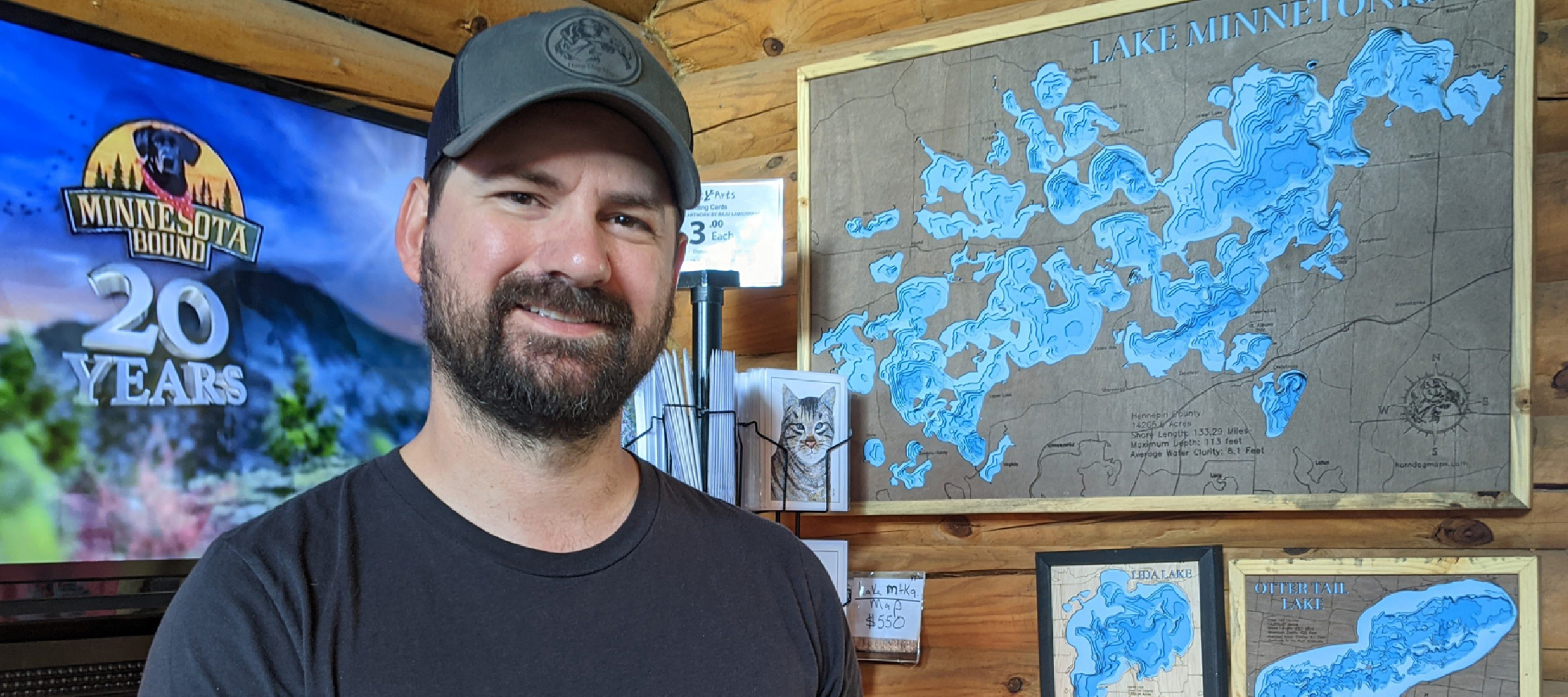
Meet Mitch, the maker behind Horn Dog Maps. An avid fisherman, Mitch spends much time on the water and researching new lakes to fish. As a former Army mortarman, he found a love for maps and plotting terrain. He was also introduced to woodworking during his time in the army when the tents he lived in needed to be reinforced for the winter. It was a new skill, but Mitch loved learning. Little did he know that this unique combination would lead to a life of making art. Through a series of questions, we got to know Mitch and a bit about his business.
Briefly Tell us about yourself:
I am a husband, a father, an Army veteran, and an avid outdoorsman who does not like sitting still. You will most likely find me outside, in my shop or somehow keeping active. I also love making things. When I see something I try to figure out how it was made and how I could make it myself. The answer seems is it’s always more expensive, time-consuming, and you get a worse product when you make it yourself but I enjoy it.
What do you make?
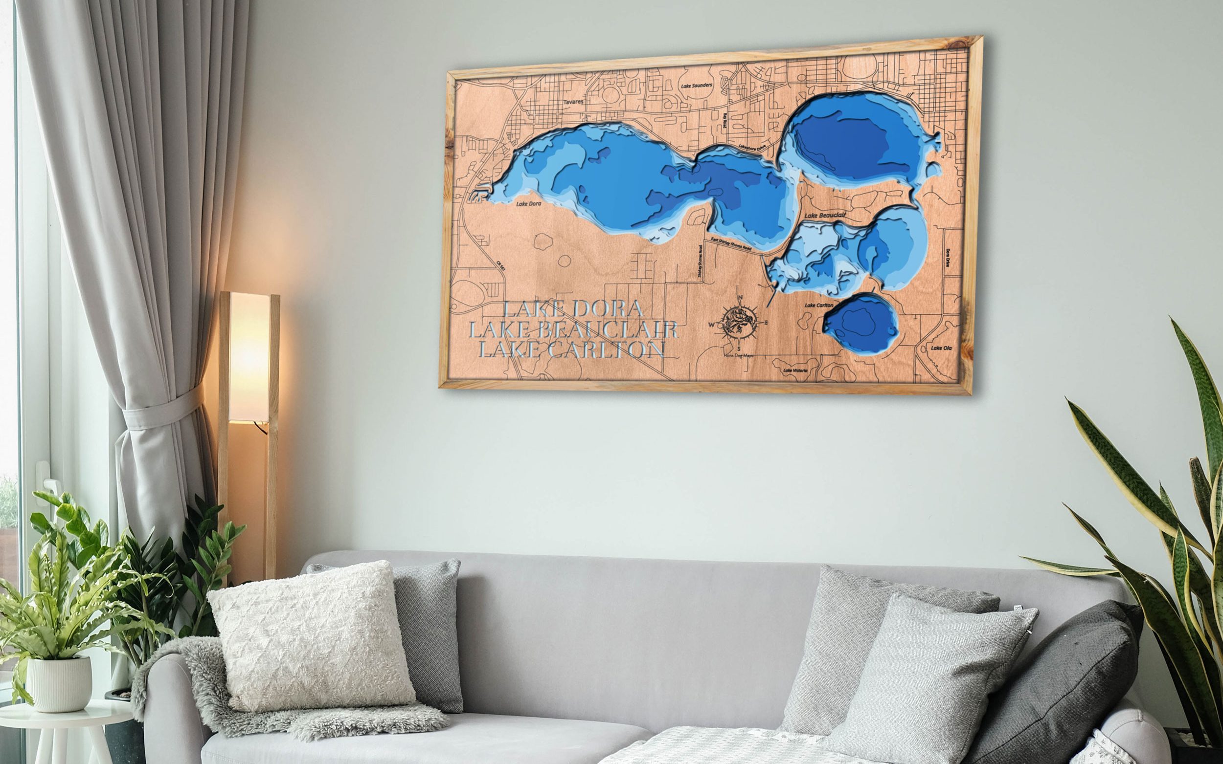
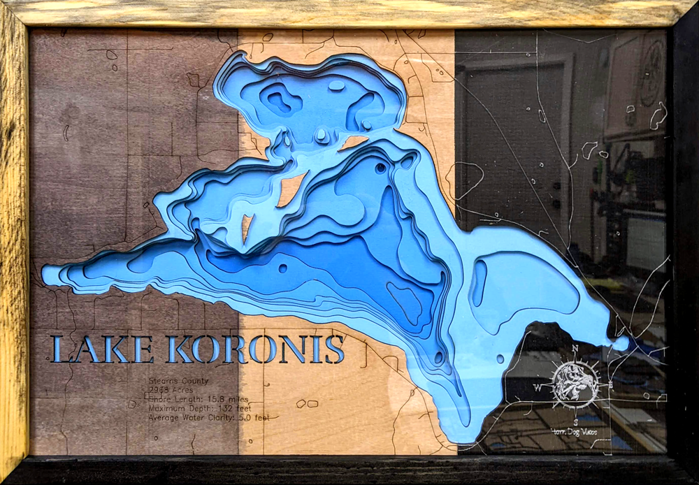
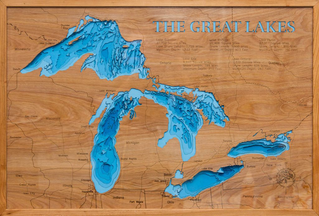
I primarily make 3d lake maps out of wood. One day I saw a magazine with something very similar of Lake Superior, but it was made out of cardstock and built up like a mountain rather than down like a lake. I used Photoshop knowledge to build a mockup of one of my favorite lakes, and then I bought a cheap scroll saw for $50 off Craigslist. After cutting the first proof of concept, it was good enough for me. I posted it on Facebook, and some of my friends saw it and wanted me to make one of their lakes.
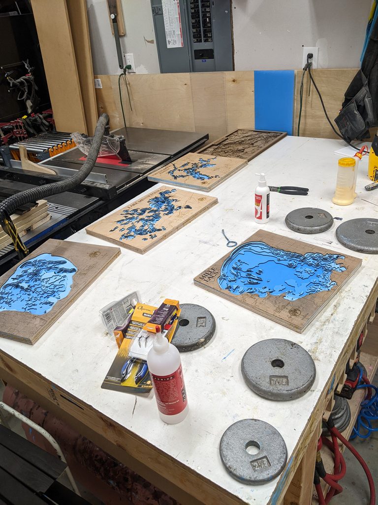
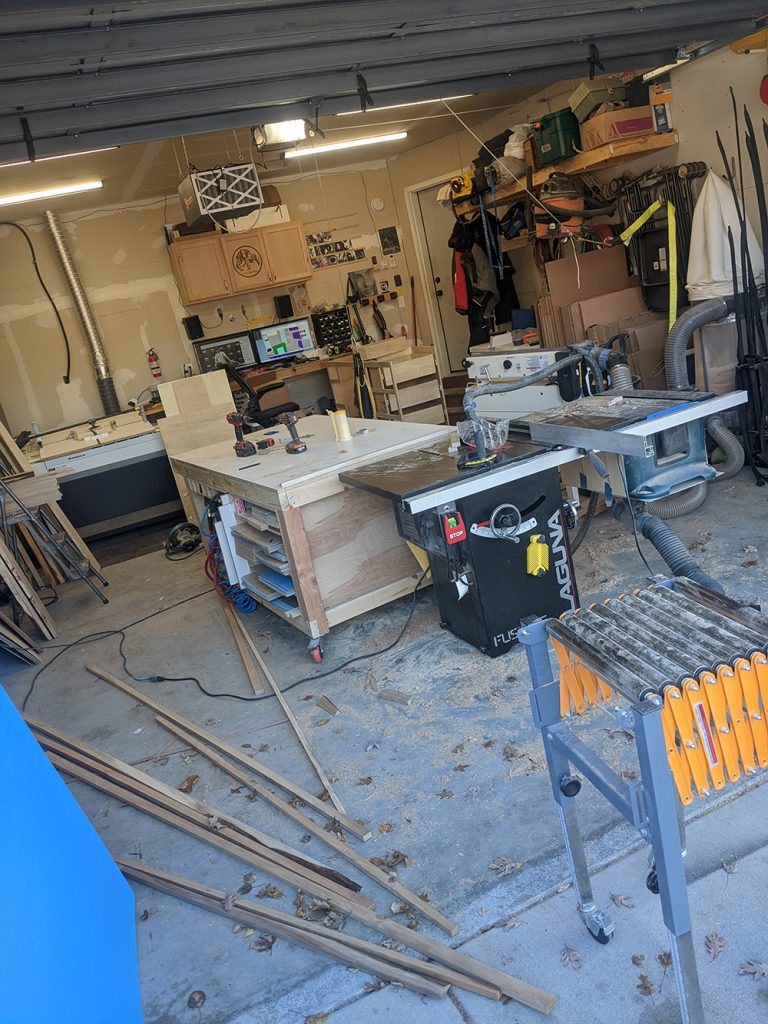
Each one took about 6 hours bent over a scroll saw to get them cut out, and I had to find a better way. Eventually, I learned about laser cutters and found a maker space near me that had one. For three years, I built up my business at maker spaces and spent my free time mocking up lakes before moving my business into my garage and purchasing my own equipment. I now have a fully functioning wood shop in a two-car garage with over 900 lakes mocked up and ready to cut. I also make my frames out of locally sourced lumber. It wasn’t until six months after my first proof of concept was cut that I realized that others were making similar maps, so it was definitely parallel thinking and not just seeing someone else’s idea and recreating it exactly.
Explain your creative process:
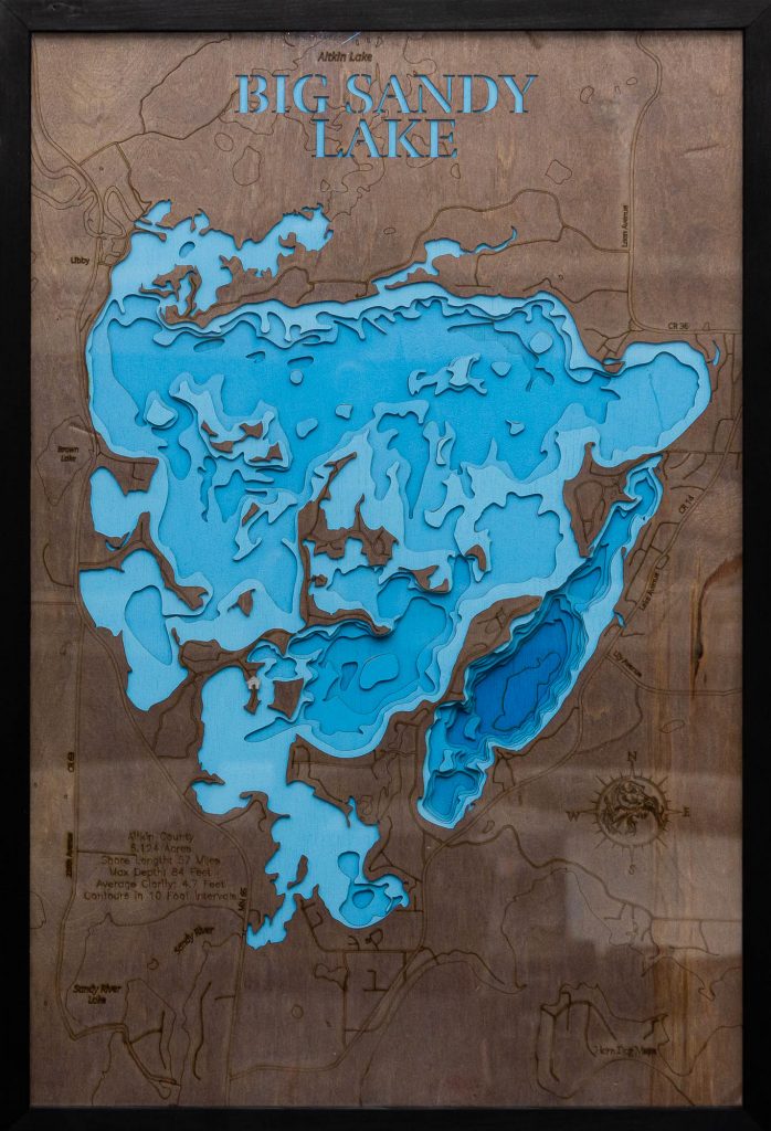
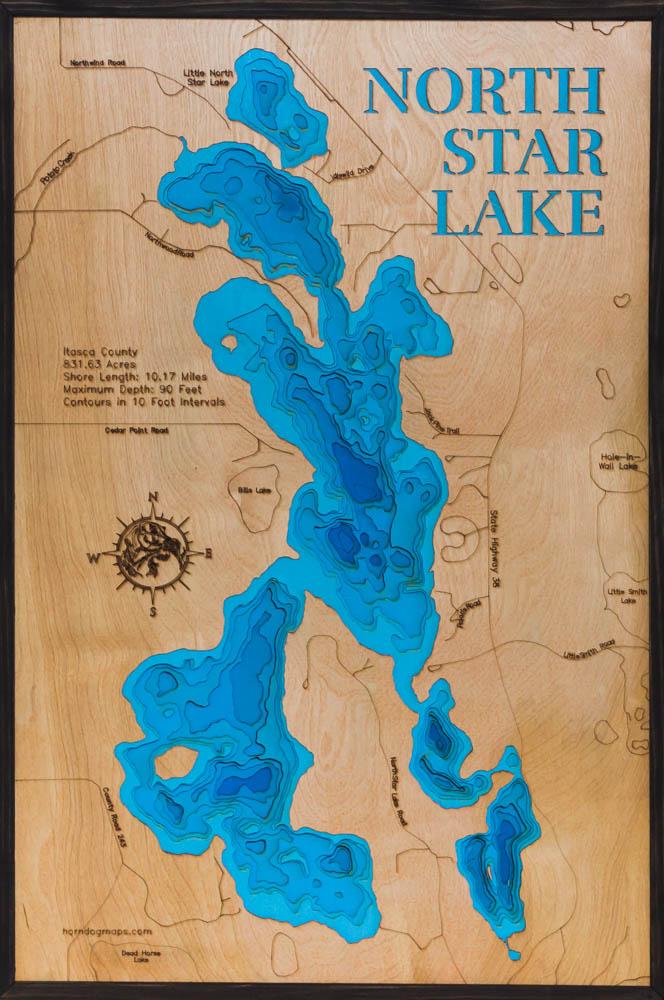
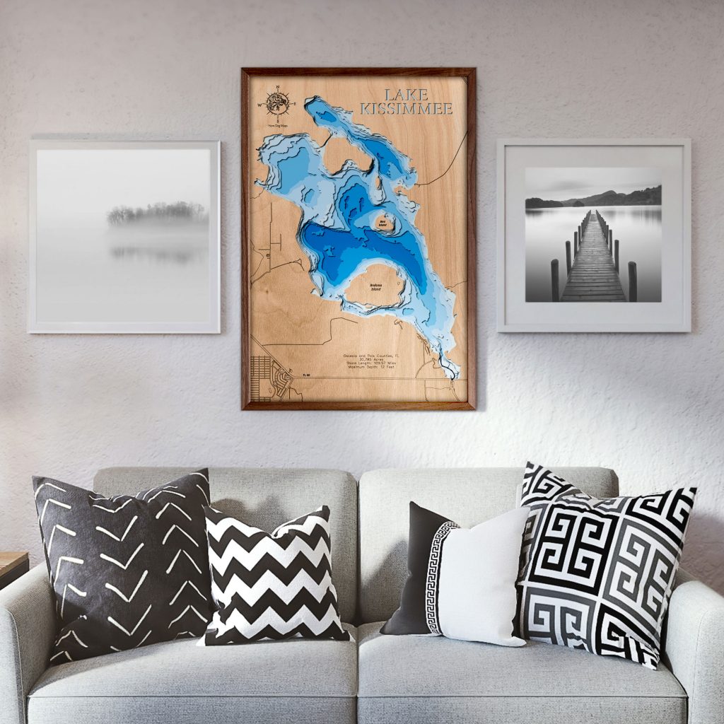
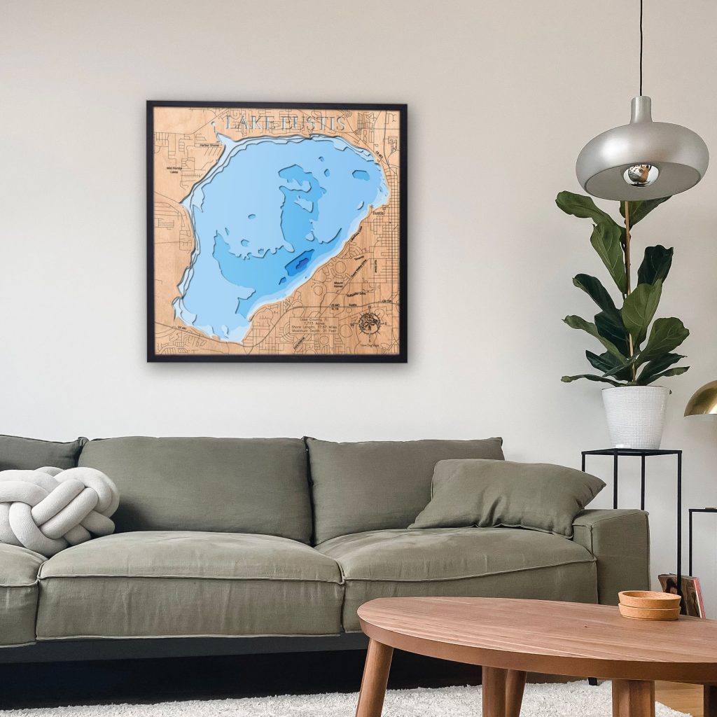
At this point, it’s not as much of a “creative” process as it’s a production process. When a customer asks for a lake, not in my catalog, I will look it up to confirm it can be done. Then I will extract the depths and separate them into different layers, adding the roads, names, lake data, etc. Every lake is built upon the same framework. They are either square or rectangular. They all have eight layers, and the top layer has the roads. The only real difference is what the laser cuts out. The creative part is the customer choosing their size and color scheme to fit in with their home.
Is there a story behind your shop name?
My dog is a German Wirehaired Pointer named Sterling, and my wife and I trained him to find deer shed antlers. It’s always been an inside “joke” in my family to call them horns, even though we all know the difference between horns and antlers. So we called Sterling our little Horn Dog also for the double entendre meaning behind it. He became my mascot for all my hobbies. So when I was making fishing lures, I called them Horn Dog Lures. When I was brewing beer, I called it Horn Dog Brew, and when I started making maps, naturally, I called them Horn Dog Maps.
Where do you Create your Maps?
I hopped around two different maker spaces for about three years or so until I had enough business and enough money saved to move into my garage. Now, I have a fully functioning wood shop in my 2-car garage. I have a 36″ cabinet table saw, router table, wide belt sander, planer, 100w co2 laser, track saw, and various other tools that aid me in making these lake maps and other woodworking projects. Everything is on wheels because my wife still likes to park there in the winter.
Is making maps your full-time job?
It is not my full-time business. My full-time job is as an audio engineer at a marketing firm. I edit radio shows and podcasts for hosts spread out across the country.
What does your day look like when you’re making?
When I have a full day of making maps, I will first go through my orders and see what sizes and frame options they choose. Then I will cut, sand, assemble and stain/seal the frames.
Once those are drying, I will see what sizes the maps are. I try to keep a handful of panels already painted and cut to size for my most common sizes. If I don’t have them on hand, I will paint seven sheets of 1/8″ thick plywood, each with a different shade of blue. Light blue for the top layer and progressively darker until it’s dark blue for the bottom layer. The ground layer is left unfinished until I get an order. After the paint is dry, I cut all the sheets to their appropriate sizes, set them aside for future orders, or start working on current orders. Once I see the top layer color selection, I will paint, stain, or seal it according to the order.
The next step is opening up the artwork and resizing it to the size of the order, and then exporting the layers as vectors which I can then send to my laser. If the customer wants it personalized, I will add their custom touches to the map and send them a digital mockup for approval before I cut it. After the design is approved, I send each layer to the laser individually and cut them. I assemble them from the bottom up and then add the frame. After it is finished, I take a photo of it, box it up, write a personal thank you note, and then ship it.
On a day when I have frames cut and panels painted already, I can get 8-12 maps out the door a day. If I have to do milling, painting, and assembling, I’m closer to 2 to 4 depending on how many I have to do.
What is your most popular product?
Most of the lakes I sell are 1-off, and I may never sell them again. I do have some repeats, though. The Chippewa Flowage in Wisconsin, Lake Superior, Lake of the Woods, and Mille Lacs in Minnesota are a few of my more popular ones. The most popular size is 16×24, and the most popular color scheme is a light or natural wood top with a walnut frame.
I’m not the only person who makes 3d lake maps. But I think I am the only single-person shop with such an extensive catalog of maps available. I see other shops with maybe a dozen lakes, and they never really add others; if they do, it is a slow process. I have worked my process down to a science where I can go from new requests to ready-to-cut in approximately 30 minutes. That is why I have over 900 lakes in my catalog and am constantly expanding.
Where can people find you?
- Shop: goimagine.com/horndogmaps (Save 10% with code ‘goimagine’ at checkout)
- Instagram: @horndogmaps
- Facebook: @horndogmaps
- YouTube: Minnesota Bound Interview
Shop Local:
You can find Horn Dog Maps on display at the following locations.
- Smith + Trade Collaborative (Stillwater, MN)
- Outdoor Ventures (Hayward, WI)
- White Willow Co Market (Cumberland, WI)

Stephanie is naturally creative and is passionate about art, design, and everything handmade. She has always enjoyed exploring new techniques and trends in the handmade industry and has channeled this into her role as the Creative Director and co-founder of goimagine. Through her love for creating, she has successfully sold her unique wares, which range from fine art to simple crafts, in both online and in-person markets.
