
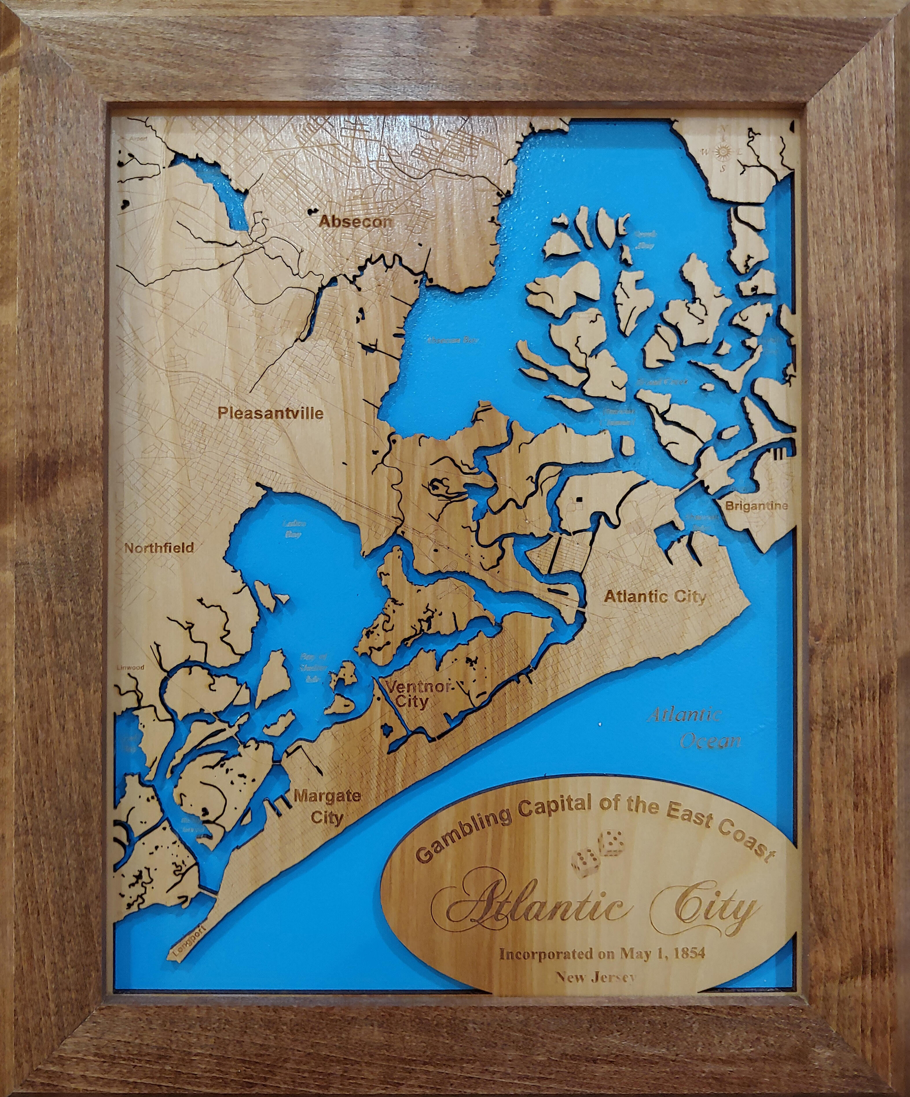

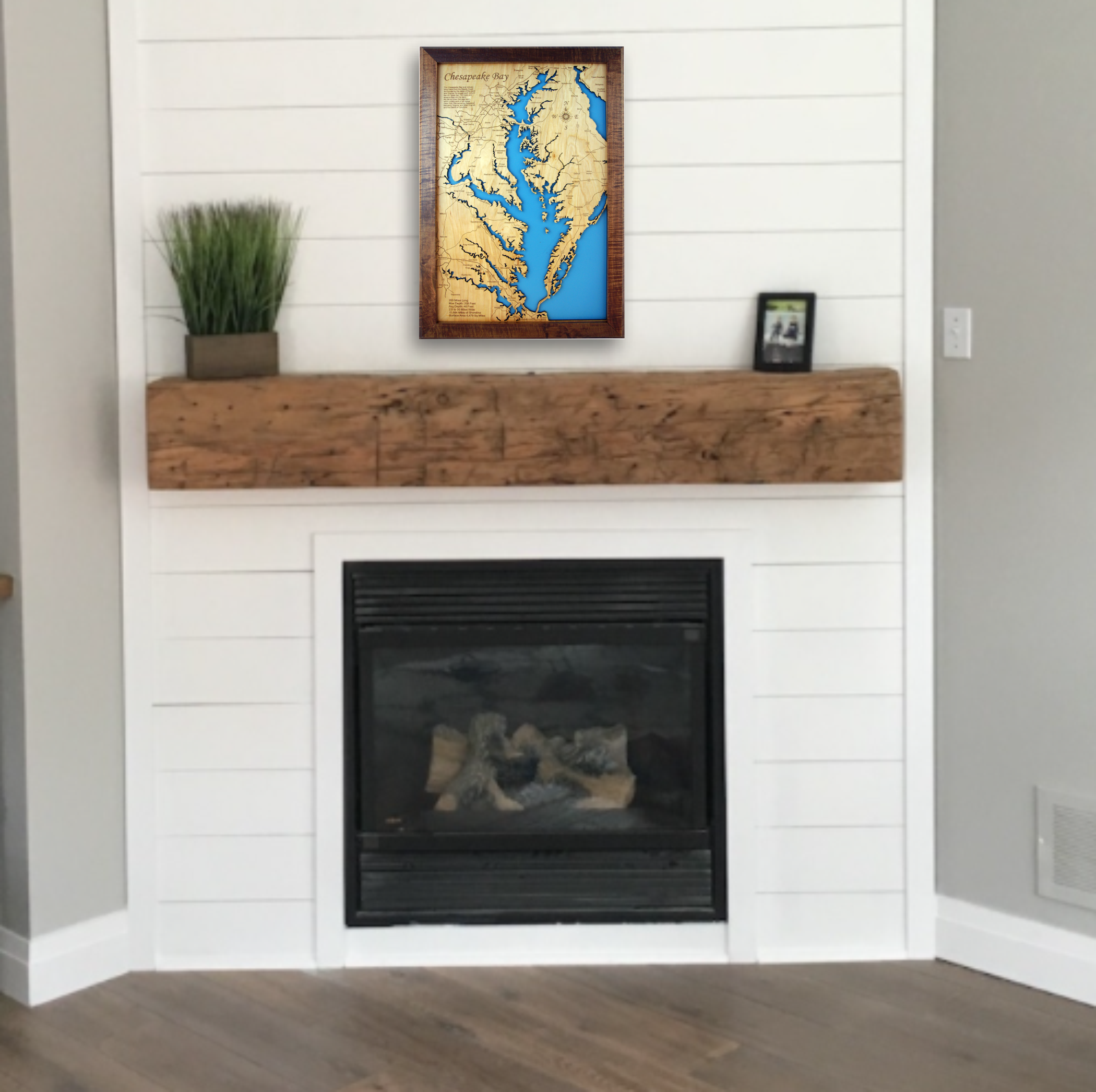
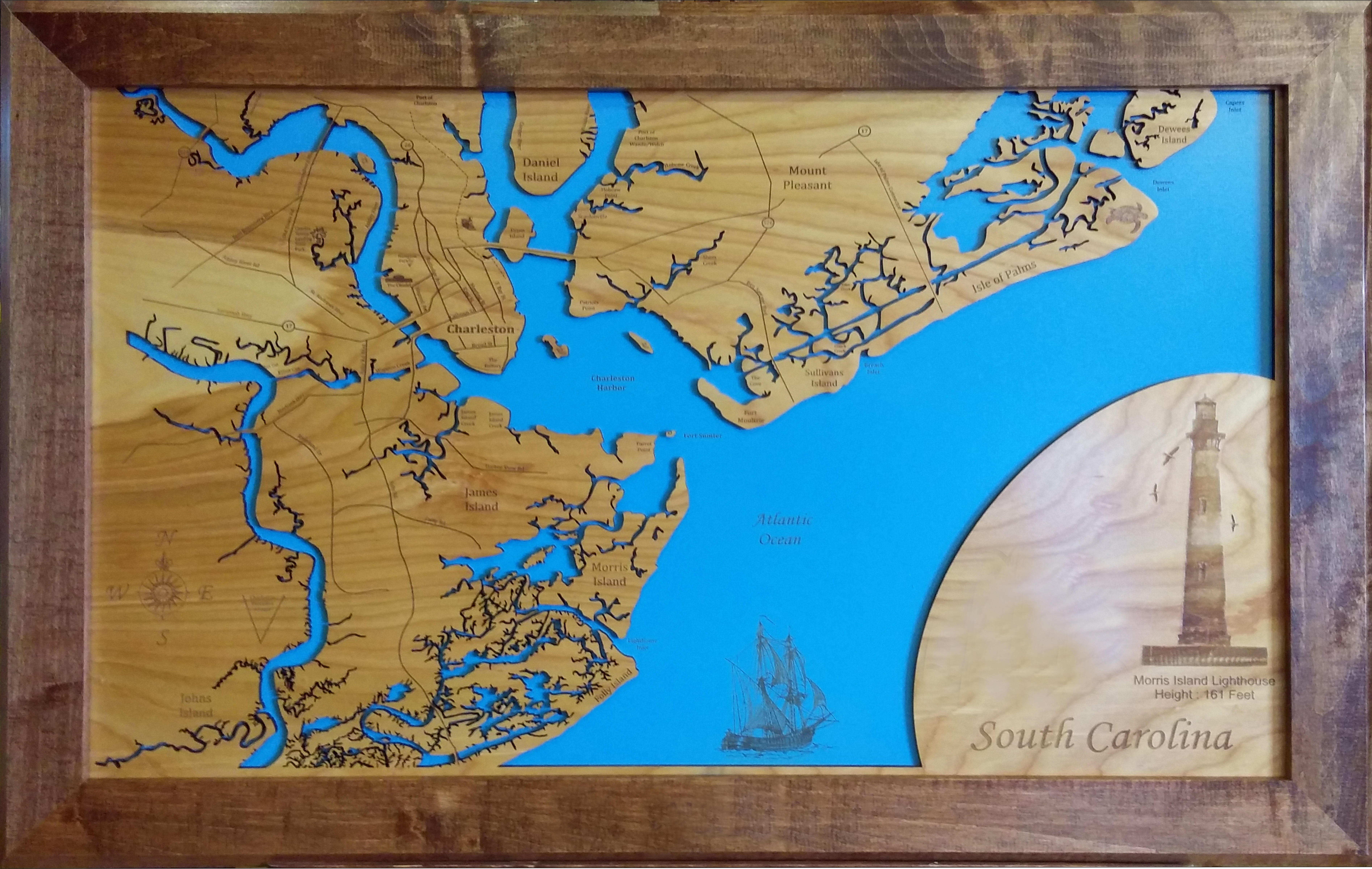
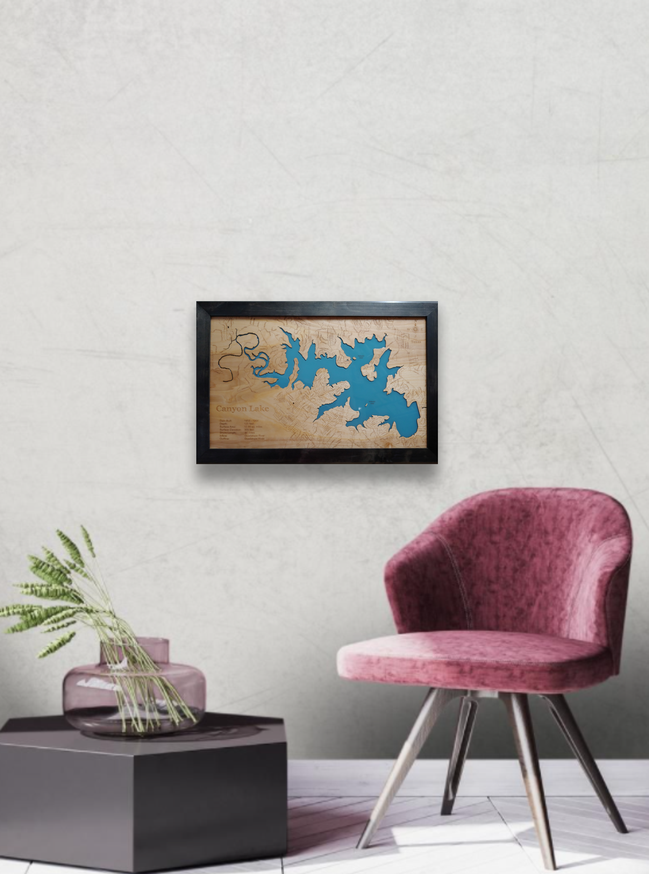


About this Product
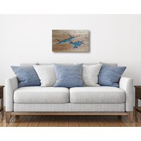
Let us create a beautifully detailed, laser engraved map of the lake of your choice. The traditional framed style is a stunning addition to any décor.
- Each map is made to order - Proof sent via email for approval of custom engraving within 1-3 business days. Allow 3-5 business days for production after you approve your proof.
- New designs - We have designed thousands of maps world wide. If we haven't already designed the map you'd like, we'll design it for you. Just send a screenshot of the area you'd like engraved and choose a style and size for scale. Please allow up to 2 weeks to receive proof.
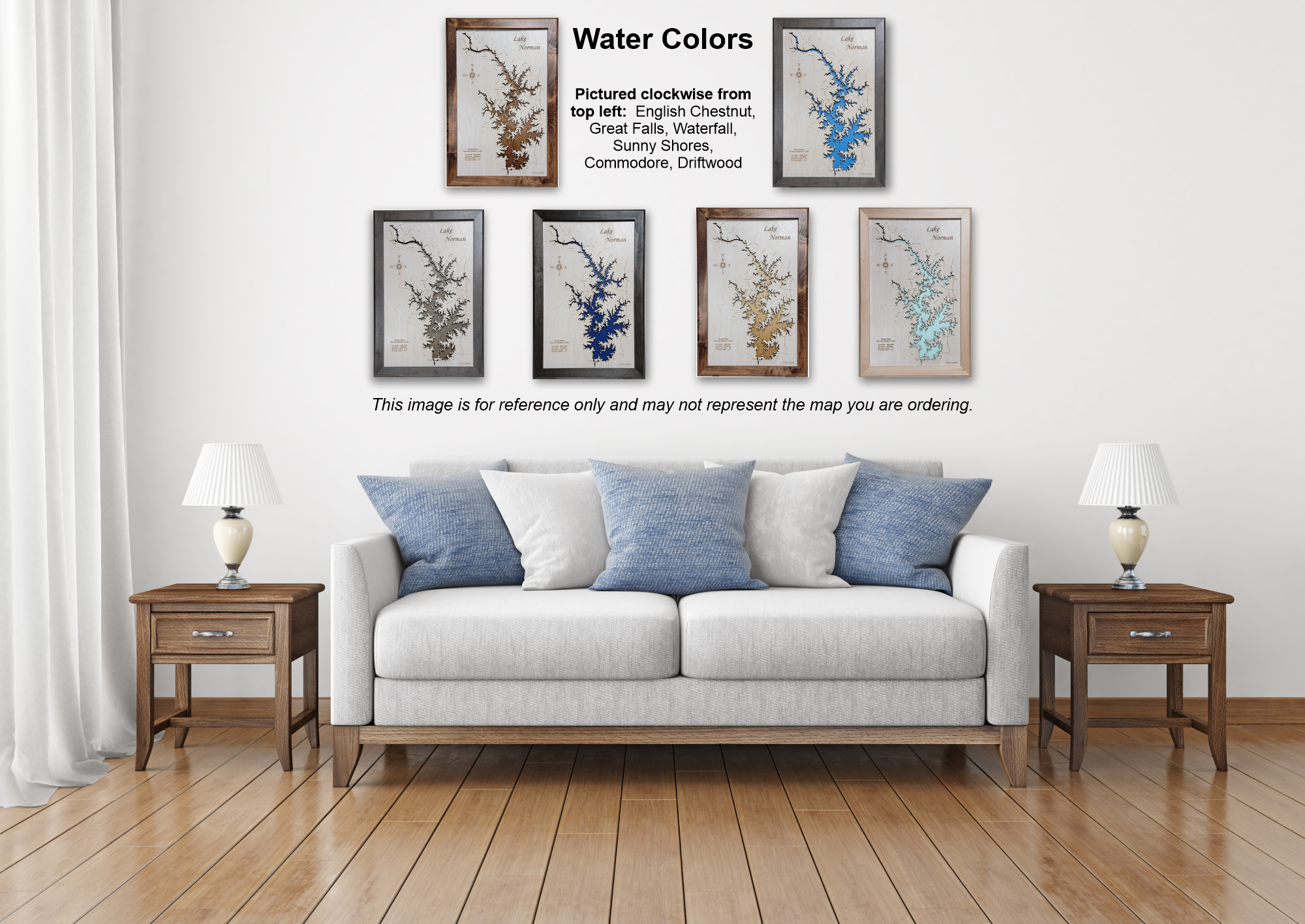
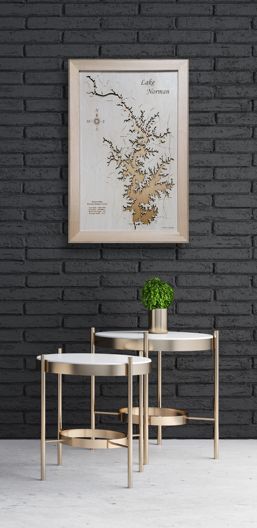
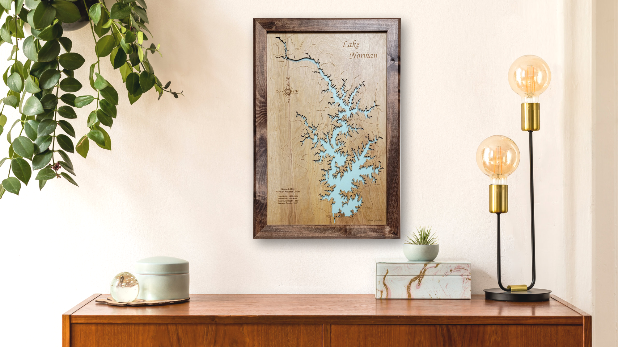
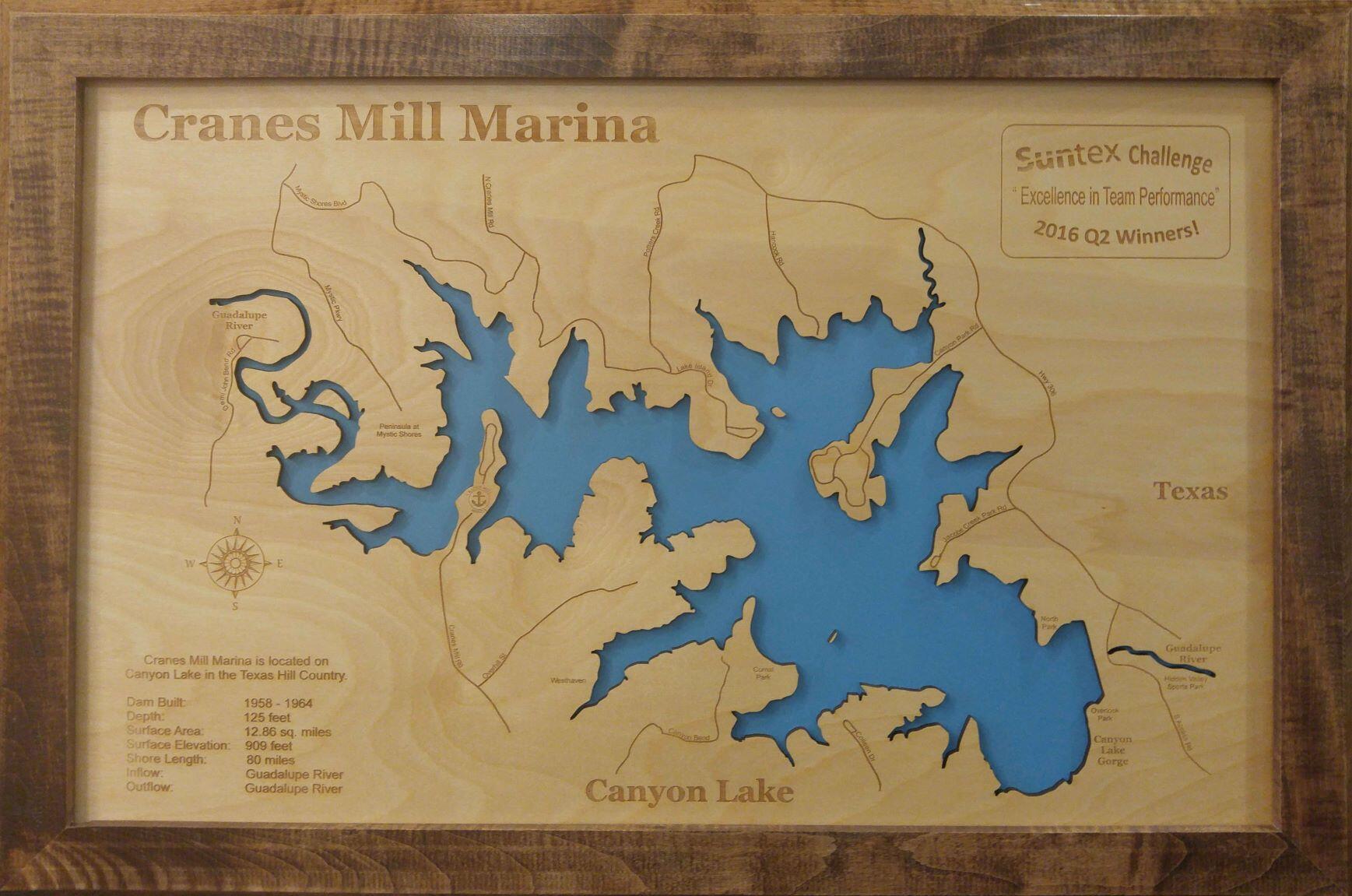
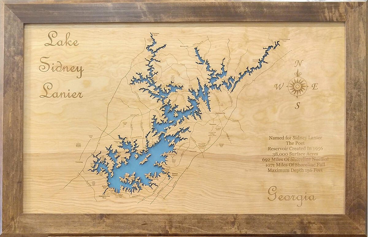
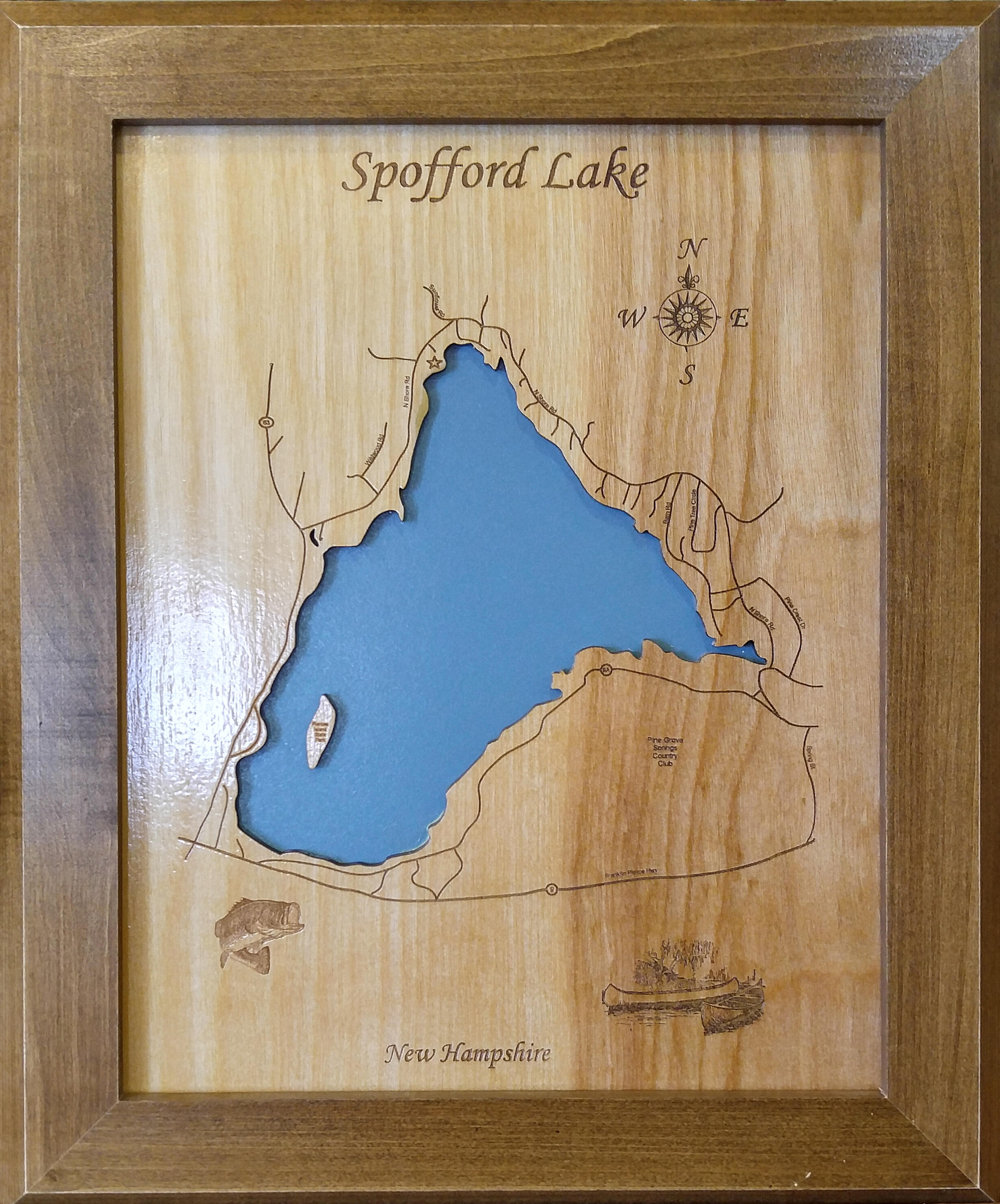
- Standard Engraving - Each map includes the lake or area name, state or province, and the compass rose. Lake maps may also include statistical information such as surface area, max. depth, etc.
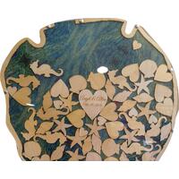
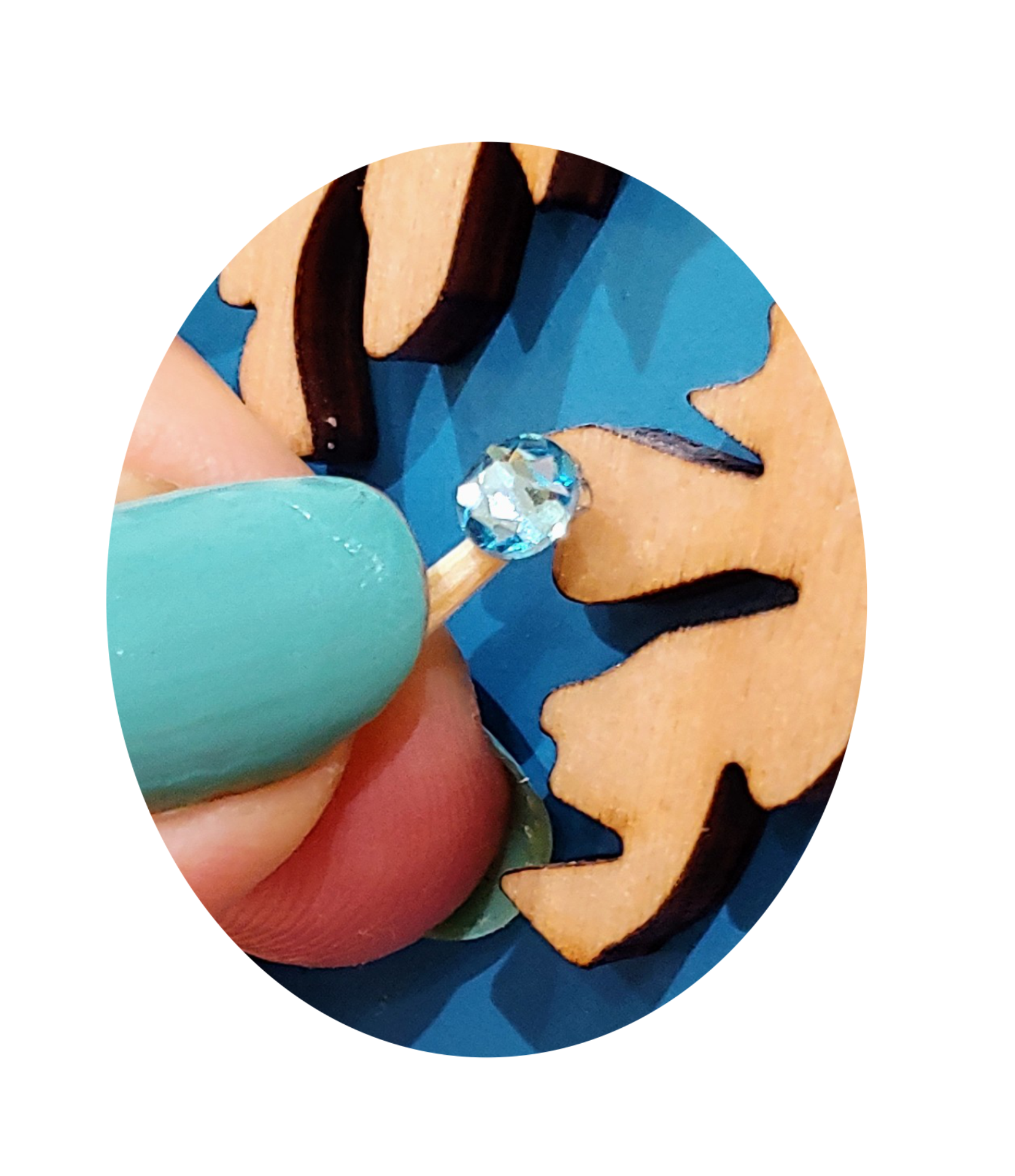
- Swarovski Crystal Included - All maps include a self-adhesive blue Swarovski crystal to mark your preferred location on the map.
- Top Quality Wood - The finest woods and our attention to detail ensure a unique work of art for your home or office.
Whether it's a major body of water or the farm pond on the back 40, we'll create a work of art you'll be proud to display in your home or office.
Made in the USA - Our products are made in a thriving town in North Carolina by a team of artisans using American sourced materials.
Lake Norman, Lake Conroe, Lake Gaston, Lake Murray, Smith Mountain Lake, Cedar Creek Lake, Lake Champlain, Chatuge Lake, Fort Loudoun Lake, Frio River, Grand Lake O' the Cherokees, J Percy Priest Reservoir, Lake James, Long Lake, Mississippi River, Richland Chambers, Sam Rayburn Lake, Lake Sidney Lanier, Norris Lake, Tennessee Valley Authority, Lake Travis, Twin Lakes, Watts Bar Lake, Lake Wedowee, Lake Webster, Lake Winnipesaukee, Lake Winnisquam, Lake Oconee,
Personal Handcrafted Displays
How it’s Made
Each map is drawn by hand on a computer combining graphic art and satellite imagery. The file is sent to the laser (think of it as a giant printer) where the top layer is engraved and the water is cut away. It is hand-sanded and mounted to a second layer to create the water effect. The assembled map is then given multiple clear coats to create the lustrous wood shine.